
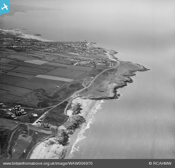
WAW006970 WALES (1947). View of Royal Porthcawl golf club showing distant Porthcawl in the distance
© Copyright OpenStreetMap contributors and licensed by the OpenStreetMap Foundation. 2026. Cartography is licensed as CC BY-SA.
Nearby Images (13)
WAW006968

WAW006969

WAW006970

WAW036210

WAW036211

WPW058515

WPW058516

WPW058517

WPW058518

WPW058519

WPW058520

WPW058521

WPW058522

Details
| Title | [WAW006970] View of Royal Porthcawl golf club showing distant Porthcawl in the distance |
| Reference | WAW006970 |
| Date | 1947 |
| Link | Coflein Archive Item 6413458 |
| Place name | |
| Parish | |
| District | |
| Country | WALES |
| Easting / Northing | 280246, 178386 |
| Longitude / Latitude | -3.7251383907856, 51.491237138699 |
| National Grid Reference | SS802784 |
Pins

Aerfen |
Sunday 15th of January 2017 12:32:47 AM |