
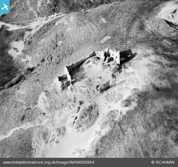
WAW005894 WALES (1947). View of Pennard Castle, Gower
© Copyright OpenStreetMap contributors and licensed by the OpenStreetMap Foundation. 2026. Cartography is licensed as CC BY-SA.
Nearby Images (4)
WAW005891

WAW005892

WAW005893

WAW005894

Details
| Title | [WAW005894] View of Pennard Castle, Gower |
| Reference | WAW005894 |
| Date | 15-May-1947 |
| Link | Coflein Archive Item 6413368 |
| Place name | |
| Parish | |
| District | |
| Country | WALES |
| Easting / Northing | 254420, 188500 |
| Longitude / Latitude | -4.1011170150923, 51.57606569059 |
| National Grid Reference | SS544885 |
Pins
Be the first to add a comment to this image!