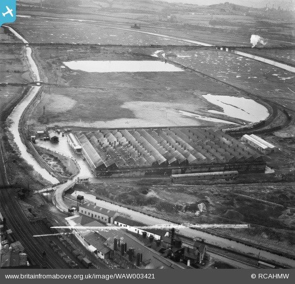
WAW003421 WALES (1946). View of the Metal Box tinplate works, Neath
© Copyright OpenStreetMap contributors and licensed by the OpenStreetMap Foundation. 2024. Cartography is licensed as CC BY-SA.
Nearby Images (8)
Details
| Title | [WAW003421] View of the Metal Box tinplate works, Neath |
| Reference | WAW003421 |
| Date | 1946 |
| Link | Coflein Archive Item 6413247 |
| Place name | |
| Parish | |
| District | |
| Country | WALES |
| Easting / Northing | 274372, 196379 |
| Longitude / Latitude | -3.816147884375, 51.6516814584 |
| National Grid Reference | SS744964 |
Pins
Be the first to add a comment to this image!
User Comment Contributions
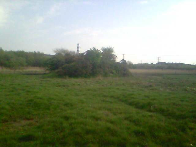
 victorian rifle range on the saltings |
 greg |
Monday 5th of May 2014 04:59:07 PM |
 pont y lady crosses the neath canal between the RSBR bridge & the road & footbridge into the metal box factory |
 greg |
Monday 5th of May 2014 04:44:51 PM |
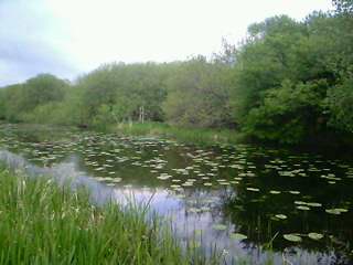
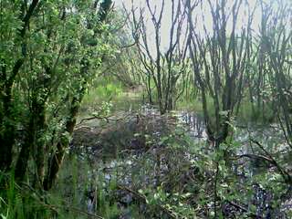
 parts of morfa llwyn erydd have recovered from years of heavy industry pollution |
 greg |
Monday 5th of May 2014 04:15:38 PM |
not a tree in sight! the land around the factory was known as morfa llwyn erydd,which roughly translates as 'eaglesbush sea marsh' & was prone to flood on spring tides throughout the victorian era.a puff of smoke from a locomotive on the Rhondda &Swansea Bay Railway near the swingbridge over the river.near the loco,on the disused loop to metal box & canalside station,standing out like a medival motte on the saltings is the remnants of a victorian rifle range shown on the 1870s o/s map as 'Butts',with markers every 100yards.NE |
 greg |
Monday 5th of May 2014 03:56:53 PM |


![[WAW003420] View of the Metal Box tinplate works, Neath](http://britainfromabove.org.uk/sites/all/libraries/aerofilms-images/public/100x100/WAW/003/WAW003420.jpg)
![[WAW003421] View of the Metal Box tinplate works, Neath](http://britainfromabove.org.uk/sites/all/libraries/aerofilms-images/public/100x100/WAW/003/WAW003421.jpg)
![[WAW003422] View of the Metal Box tinplate works, Neath](http://britainfromabove.org.uk/sites/all/libraries/aerofilms-images/public/100x100/WAW/003/WAW003422.jpg)
![[WAW003423] View of the Metal Box tinplate works, Neath](http://britainfromabove.org.uk/sites/all/libraries/aerofilms-images/public/100x100/WAW/003/WAW003423.jpg)
![[WAW003424] View of the Metal Box tinplate works, Neath](http://britainfromabove.org.uk/sites/all/libraries/aerofilms-images/public/100x100/WAW/003/WAW003424.jpg)
![[WAW003425] View of the Metal Box tinplate works, Neath](http://britainfromabove.org.uk/sites/all/libraries/aerofilms-images/public/100x100/WAW/003/WAW003425.jpg)
![[WAW003426] View of the Metal Box tinplate works, Neath](http://britainfromabove.org.uk/sites/all/libraries/aerofilms-images/public/100x100/WAW/003/WAW003426.jpg)
![[WAW003427] View of the Metal Box tinplate works, Neath](http://britainfromabove.org.uk/sites/all/libraries/aerofilms-images/public/100x100/WAW/003/WAW003427.jpg)