
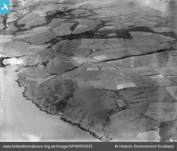
SPW050922 SCOTLAND (1936). Glenapp Estate, general view, showing Downan Hill and Glenapp Castle Grounds. An oblique aerial photograph taken facing east. This image has been produced from a damaged negative.
© Copyright OpenStreetMap contributors and licensed by the OpenStreetMap Foundation. 2026. Cartography is licensed as CC BY-SA.
Nearby Images (2)
SPW050922

SPW051122

Details
| Title | [SPW050922] Glenapp Estate, general view, showing Downan Hill and Glenapp Castle Grounds. An oblique aerial photograph taken facing east. This image has been produced from a damaged negative. |
| Reference | SPW050922 |
| Date | 1936 |
| Link | NRHE Collection item 1258011 |
| Place name | |
| Parish | BALLANTRAE (KYLE AND CARRICK) |
| District | KYLE AND CARRICK |
| Country | SCOTLAND |
| Easting / Northing | 207700, 580300 |
| Longitude / Latitude | -5.0129133012997, 55.079761709245 |
| National Grid Reference | NX077803 |
