
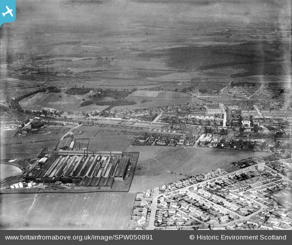
SPW050891 SCOTLAND (1936). Airdrie, general view, showing West End Park and Queen Victoria Street. An oblique aerial photograph taken facing north.
© Copyright OpenStreetMap contributors and licensed by the OpenStreetMap Foundation. 2026. Cartography is licensed as CC BY-SA.
Nearby Images (3)
SPW050891

SPW050905

SPW050892

Details
| Title | [SPW050891] Airdrie, general view, showing West End Park and Queen Victoria Street. An oblique aerial photograph taken facing north. |
| Reference | SPW050891 |
| Date | 1936 |
| Link | NRHE Collection item 1257869 |
| Place name | |
| Parish | NEW MONKLAND (MONKLANDS) |
| District | MONKLANDS |
| Country | SCOTLAND |
| Easting / Northing | 275350, 665250 |
| Longitude / Latitude | -3.9919962295513, 55.864316523384 |
| National Grid Reference | NS754653 |
Pins

marpa |
Wednesday 29th of October 2025 11:09:04 PM | |
|
jaypea |
Sunday 20th of November 2016 07:04:45 PM | |
|
jaypea |
Friday 22nd of January 2016 05:37:18 PM | |
|
jaypea |
Friday 22nd of January 2016 05:35:10 PM | |
|
jaypea |
Friday 22nd of January 2016 05:34:07 PM | |
|
jaypea |
Friday 22nd of January 2016 05:33:02 PM |