
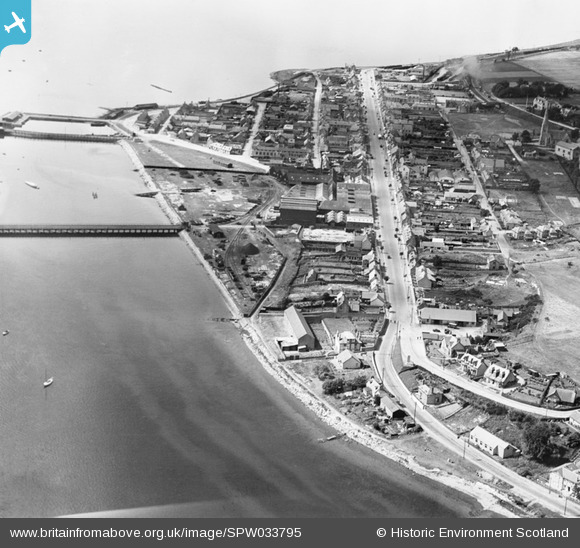
SPW033795 SCOTLAND (1930). Invergordon, general view, showing High Street and Royal Naval Dockyard. An oblique aerial photograph taken facing west.
© Copyright OpenStreetMap contributors and licensed by the OpenStreetMap Foundation. 2026. Cartography is licensed as CC BY-SA.
Nearby Images (3)
SPW033795

SPW033793

SPW033794

Details
| Title | [SPW033795] Invergordon, general view, showing High Street and Royal Naval Dockyard. An oblique aerial photograph taken facing west. |
| Reference | SPW033795 |
| Date | 1930 |
| Link | NRHE Collection item 1298006 |
| Place name | |
| Parish | ROSSKEEN |
| District | ROSS AND CROMARTY |
| Country | SCOTLAND |
| Easting / Northing | 271010, 868560 |
| Longitude / Latitude | -4.1639129204491, 57.688597248268 |
| National Grid Reference | NH710686 |
Pins

Bill_Gensheet |
Tuesday 13th of October 2015 10:43:18 PM |