
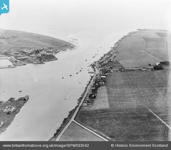
SPW033642 SCOTLAND (1930). Montrose, general view, showing Ferryden and Montrose Harbour. An oblique aerial photograph taken facing east.
© Copyright OpenStreetMap contributors and licensed by the OpenStreetMap Foundation. 2026. Cartography is licensed as CC BY-SA.
Nearby Images (2)
SPW033642

SAW051248

Details
| Title | [SPW033642] Montrose, general view, showing Ferryden and Montrose Harbour. An oblique aerial photograph taken facing east. |
| Reference | SPW033642 |
| Date | 1930 |
| Link | NRHE Collection item 1256993 |
| Place name | |
| Parish | CRAIG |
| District | ANGUS |
| Country | SCOTLAND |
| Easting / Northing | 371630, 756730 |
| Longitude / Latitude | -2.4633567484575, 56.701551523227 |
| National Grid Reference | NO716567 |
Pins
Be the first to add a comment to this image!