
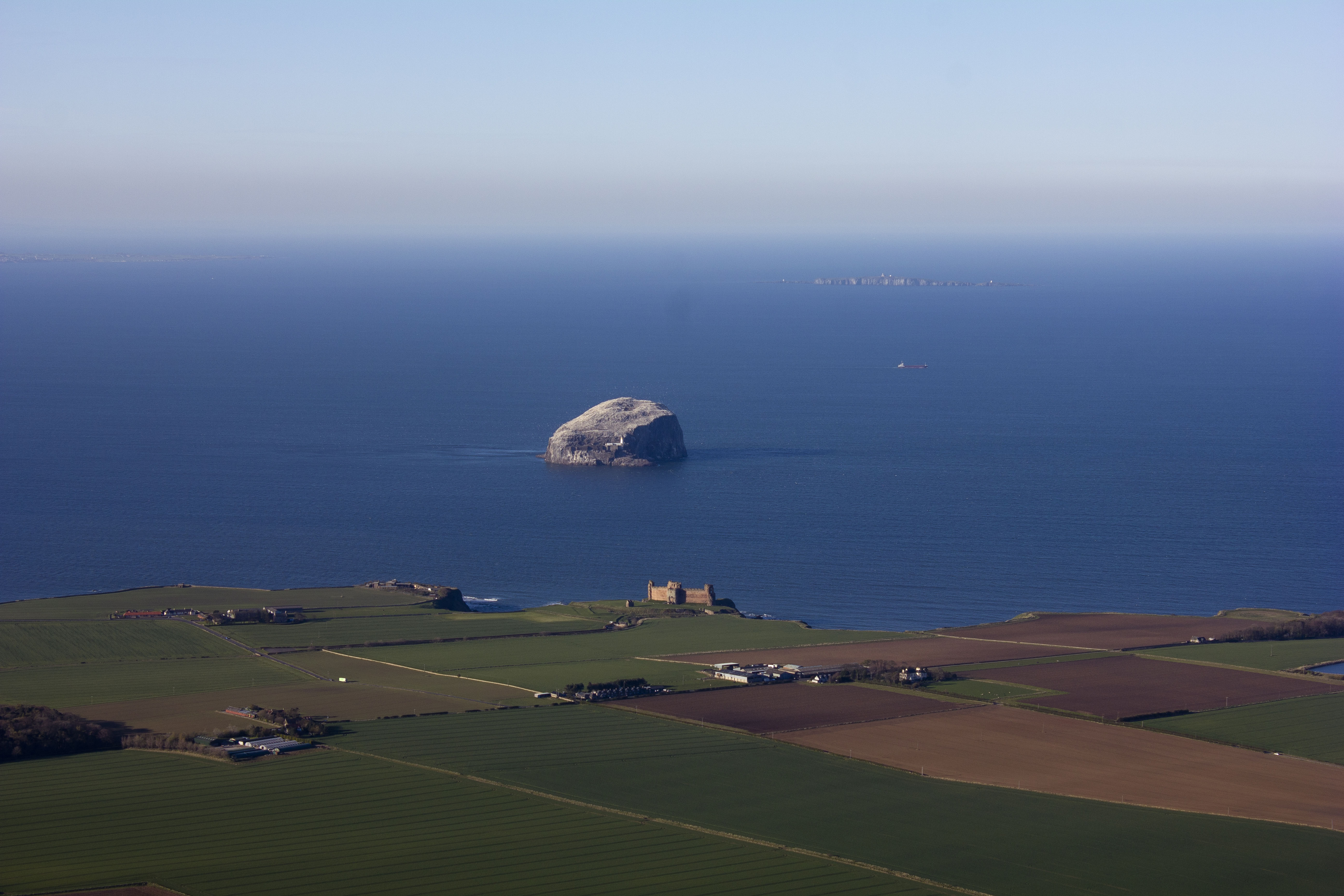
SPW027373 SCOTLAND (1929). Tantallon Castle and Bass Rock. An oblique aerial photograph taken facing north. This image has been produced from a marked print.

© Copyright OpenStreetMap contributors and licensed by the OpenStreetMap Foundation. 2026. Cartography is licensed as CC BY-SA.
Nearby Images (4)
SAW046299

SAW046300

SPW027373

SAW052507

Details
| Title | [SPW027373] Tantallon Castle and Bass Rock. An oblique aerial photograph taken facing north. This image has been produced from a marked print. |
| Reference | SPW027373 |
| Date | 1929 |
| Link | NRHE Collection item 1315461 |
| Place name | |
| Parish | NORTH BERWICK |
| District | EAST LOTHIAN |
| Country | SCOTLAND |
| Easting / Northing | 359523, 685000 |
| Longitude / Latitude | -2.6500162299033, 56.056193471913 |
| National Grid Reference | NT595850 |
Pins
Be the first to add a comment to this image!
User Comment Contributions
85 years on and the field boundaries are still mostly in the same places. So much changes in the landscape but so much stays the same... (Picture added from April 2014). |

swopiv |
Thursday 26th of May 2016 11:59:14 AM |