
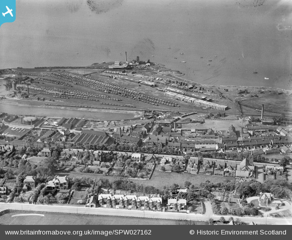
SPW027162 SCOTLAND (1929). Bo'ness, general view, showing Timber Basin and Grange Terrace. An oblique aerial photograph taken facing north.
© Copyright OpenStreetMap contributors and licensed by the OpenStreetMap Foundation. 2026. Cartography is licensed as CC BY-SA.
Nearby Images (2)
SPW027162

SPW027164

Details
| Title | [SPW027162] Bo'ness, general view, showing Timber Basin and Grange Terrace. An oblique aerial photograph taken facing north. |
| Reference | SPW027162 |
| Date | 1929 |
| Link | NRHE Collection item 1256736 |
| Place name | |
| Parish | BO'NESS AND CARRIDEN |
| District | FALKIRK |
| Country | SCOTLAND |
| Easting / Northing | 300530, 681537 |
| Longitude / Latitude | -3.5958034843443, 56.01646534767 |
| National Grid Reference | NT005815 |
