
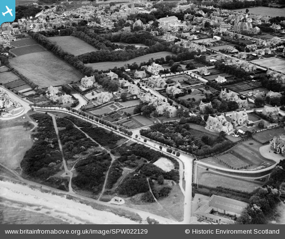
SPW022129 SCOTLAND (1928). Nairn, general view, showing West Links and Marine Road. An oblique aerial photograph taken facing south.
© Copyright OpenStreetMap contributors and licensed by the OpenStreetMap Foundation. 2026. Cartography is licensed as CC BY-SA.
Nearby Images (7)
SPW022129

SAR016792

SAR016793

SPW033839

SPW033840

SPW033836

SPW022132

Details
| Title | [SPW022129] Nairn, general view, showing West Links and Marine Road. An oblique aerial photograph taken facing south. |
| Reference | SPW022129 |
| Date | 1928 |
| Link | NRHE Collection item 1256499 |
| Place name | |
| Parish | NAIRN |
| District | NAIRN |
| Country | SCOTLAND |
| Easting / Northing | 287950, 856970 |
| Longitude / Latitude | -3.8745460412561, 57.589073641632 |
| National Grid Reference | NH880570 |
Pins

gangerel |
Thursday 28th of June 2012 10:29:51 PM |