
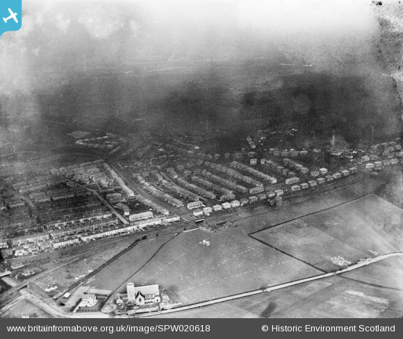
SPW020618 SCOTLAND (1928). Kings Park Housing Estate, Glasgow. An oblique aerial photograph taken facing north-east. This image has been produced from a damaged negative.
© Copyright OpenStreetMap contributors and licensed by the OpenStreetMap Foundation. 2026. Cartography is licensed as CC BY-SA.
Nearby Images (4)
SPW020617

SPW020618

SPW022168

SPW020614

Details
| Title | [SPW020618] Kings Park Housing Estate, Glasgow. An oblique aerial photograph taken facing north-east. This image has been produced from a damaged negative. |
| Reference | SPW020618 |
| Date | 1928 |
| Link | NRHE Collection item 1259265 |
| Place name | |
| Parish | CATHCART (CITY OF GLASGOW) |
| District | CITY OF GLASGOW |
| Country | SCOTLAND |
| Easting / Northing | 259270, 661210 |
| Longitude / Latitude | -4.2466625014632, 55.823616155625 |
| National Grid Reference | NS593612 |
Pins
Be the first to add a comment to this image!