
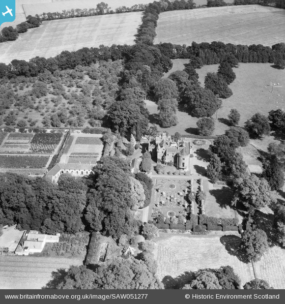
SAW051277 SCOTLAND (1953). Megginch Castle and Gardens, Errol. An oblique aerial photograph taken facing east.
© Copyright OpenStreetMap contributors and licensed by the OpenStreetMap Foundation. 2025. Cartography is licensed as CC BY-SA.
Nearby Images (3)
SAW051277

SAW051278

SAW051279

Details
| Title | [SAW051277] Megginch Castle and Gardens, Errol. An oblique aerial photograph taken facing east. |
| Reference | SAW051277 |
| Date | 1953 |
| Link | NRHE Collection item 1297938 |
| Place name | |
| Parish | ERROL |
| District | PERTH AND KINROSS |
| Country | SCOTLAND |
| Easting / Northing | 324195, 724605 |
| Longitude / Latitude | -3.2285690775579, 56.407688656856 |
| National Grid Reference | NO242246 |
Pins
Be the first to add a comment to this image!