
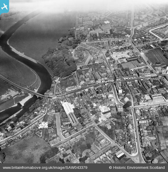
SAW043379 SCOTLAND (1952). Annan, general view, showing Bridge of Annan and St John's Road. An oblique aerial photograph taken facing north.
© Copyright OpenStreetMap contributors and licensed by the OpenStreetMap Foundation. 2026. Cartography is licensed as CC BY-SA.
Nearby Images (13)
SAW043379

SAW043380

SPW029234

SPW029231

SPW029235

SPW040218

SPW029236

SPW029230

SPW040215

SPW040219

SPW029232

SAR019951

SAR019952

Details
| Title | [SAW043379] Annan, general view, showing Bridge of Annan and St John's Road. An oblique aerial photograph taken facing north. |
| Reference | SAW043379 |
| Date | 1952 |
| Link | NRHE Collection item 1297659 |
| Place name | |
| Parish | ANNAN |
| District | ANNANDALE AND ESKDALE |
| Country | SCOTLAND |
| Easting / Northing | 319260, 566610 |
| Longitude / Latitude | -3.26194624903, 54.987454693801 |
| National Grid Reference | NY193666 |
Pins
Be the first to add a comment to this image!