
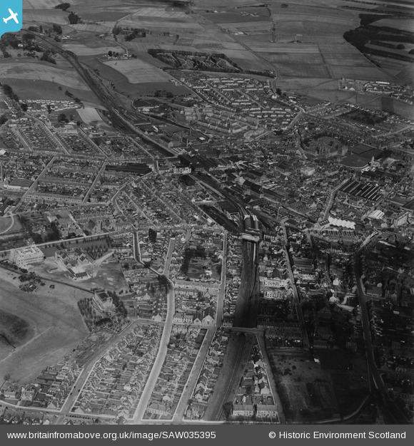
SAW035395 SCOTLAND (1951). Arbroath, general view. An oblique aerial photograph taken facing north. This image has been produced from a print.
© Copyright OpenStreetMap contributors and licensed by the OpenStreetMap Foundation. 2026. Cartography is licensed as CC BY-SA.
Nearby Images (3)
SAW035395

SAW035394

SAW035396

Details
| Title | [SAW035395] Arbroath, general view. An oblique aerial photograph taken facing north. This image has been produced from a print. |
| Reference | SAW035395 |
| Date | 1951 |
| Link | NRHE Collection item 1315221 |
| Place name | |
| Parish | ARBROATH AND ST VIGEANS |
| District | ANGUS |
| Country | SCOTLAND |
| Easting / Northing | 363880, 741080 |
| Longitude / Latitude | -2.5877381950944, 56.560411425186 |
| National Grid Reference | NO639411 |
Pins

Post-war prefabs |
Thursday 6th of February 2020 01:29:58 PM |