
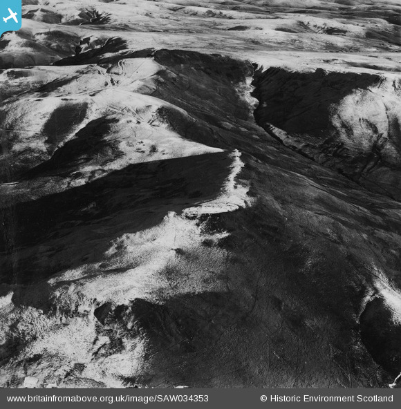
SAW034353 SCOTLAND (1950). Hindhope Hill Hillfort and Hunthall Hill, Cheviot Hills. An oblique aerial photograph taken facing east. This image has been produced from a damaged print.
© Copyright OpenStreetMap contributors and licensed by the OpenStreetMap Foundation. 2026. Cartography is licensed as CC BY-SA.
Nearby Images (5)
SAW034352

SAW034353

SAW034354

SAW034355

SAW034357

Details
| Title | [SAW034353] Hindhope Hill Hillfort and Hunthall Hill, Cheviot Hills. An oblique aerial photograph taken facing east. This image has been produced from a damaged print. |
| Reference | SAW034353 |
| Date | 1950 |
| Link | NRHE Collection item 1315213 |
| Place name | |
| Parish | OXNAM |
| District | ROXBURGH |
| Country | SCOTLAND |
| Easting / Northing | 376818, 611271 |
| Longitude / Latitude | -2.3660359002752, 55.394817609652 |
| National Grid Reference | NT768113 |
Pins
Be the first to add a comment to this image!