
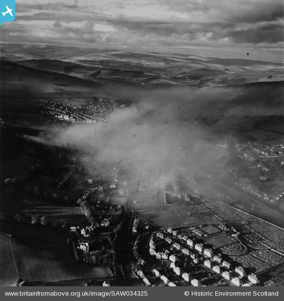
SAW034325 SCOTLAND (1950). Galashiels, general view, showing Abbotsford Road and Gala Park. An oblique aerial photograph taken facing north-west. This image has been produced from a print.
© Copyright OpenStreetMap contributors and licensed by the OpenStreetMap Foundation. 2026. Cartography is licensed as CC BY-SA.
Nearby Images (2)
SAW034325

SAW034326

Details
| Title | [SAW034325] Galashiels, general view, showing Abbotsford Road and Gala Park. An oblique aerial photograph taken facing north-west. This image has been produced from a print. |
| Reference | SAW034325 |
| Date | 1950 |
| Link | NRHE Collection item 1315206 |
| Place name | |
| Parish | GALASHIELS |
| District | ETTRICK AND LAUDERDALE |
| Country | SCOTLAND |
| Easting / Northing | 349720, 635421 |
| Longitude / Latitude | -2.7982484665051, 55.609791317074 |
| National Grid Reference | NT497354 |
Pins
Be the first to add a comment to this image!