
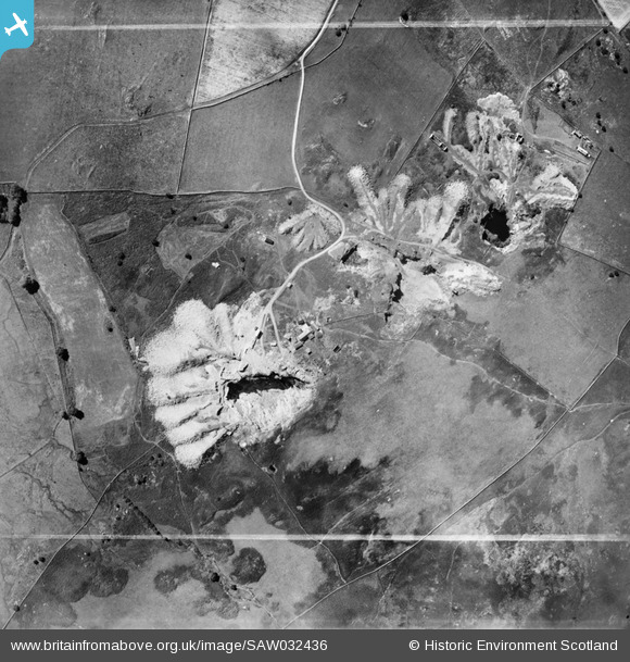
SAW032436 SCOTLAND (1950). Stewart and Co. Fell Quarry, Kirkmabreck. An oblique aerial photograph taken facing south. This image has been produced from a crop marked negative.
© Copyright OpenStreetMap contributors and licensed by the OpenStreetMap Foundation. 2025. Cartography is licensed as CC BY-SA.
Nearby Images (10)
SAW032431

SAW032432

SAW032433

SAW032434

SAW032435

SAW032436

SAW032437

SAW032438

SAW032439

SAW032440

Details
| Title | [SAW032436] Stewart and Co. Fell Quarry, Kirkmabreck. An oblique aerial photograph taken facing south. This image has been produced from a crop marked negative. |
| Reference | SAW032436 |
| Date | 1950 |
| Link | Canmore Collection item 1269815 |
| Place name | |
| Parish | KIRKMABRECK |
| District | WIGTOWN |
| Country | SCOTLAND |
| Easting / Northing | 248800, 556700 |
| Longitude / Latitude | -4.3572070134605, 54.882065758304 |
| National Grid Reference | NX488567 |
Pins
Be the first to add a comment to this image!