
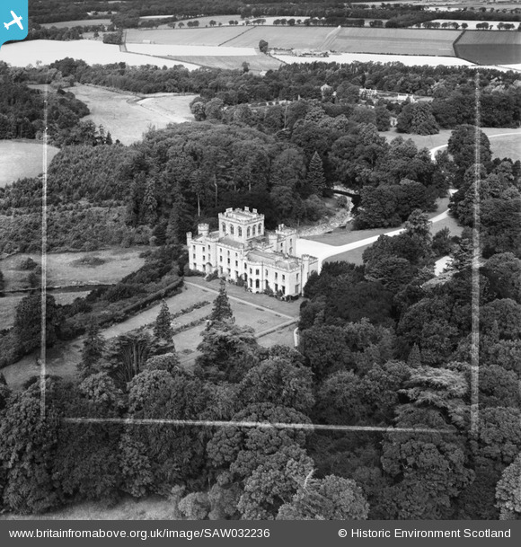
SAW032236 SCOTLAND (1950). Saltoun Hall, Pencaitland. An oblique aerial photograph taken facing north-west. This image has been produced from a crop marked negative.
© Copyright OpenStreetMap contributors and licensed by the OpenStreetMap Foundation. 2026. Cartography is licensed as CC BY-SA.
Nearby Images (8)
SAW032230

SAW032231

SAW032232

SAW032233

SAW032234

SAW032235

SAW032236

SAW032237

Details
| Title | [SAW032236] Saltoun Hall, Pencaitland. An oblique aerial photograph taken facing north-west. This image has been produced from a crop marked negative. |
| Reference | SAW032236 |
| Date | 1950 |
| Link | NRHE Collection item 1269775 |
| Place name | |
| Parish | SALTOUN |
| District | EAST LOTHIAN |
| Country | SCOTLAND |
| Easting / Northing | 346065, 668447 |
| Longitude / Latitude | -2.8627950698875, 55.906141589313 |
| National Grid Reference | NT461684 |
Pins
Be the first to add a comment to this image!