
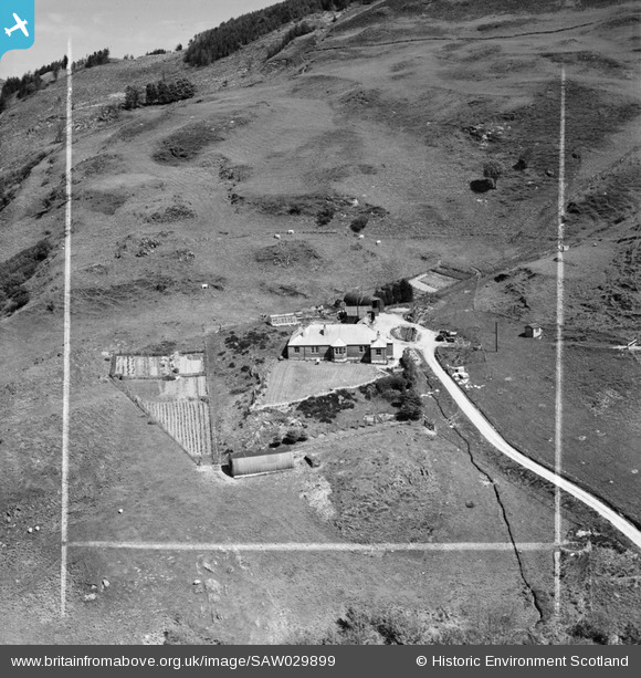
SAW029899 SCOTLAND (1950). Traighuaine, Arduaine. An oblique aerial photograph taken facing north. This image has been produced from a crop marked negative.
© Copyright OpenStreetMap contributors and licensed by the OpenStreetMap Foundation. 2026. Cartography is licensed as CC BY-SA.
Nearby Images (5)
SAW029895

SAW029896

SAW029897

SAW029898

SAW029899

Details
| Title | [SAW029899] Traighuaine, Arduaine. An oblique aerial photograph taken facing north. This image has been produced from a crop marked negative. |
| Reference | SAW029899 |
| Date | 1950 |
| Link | NRHE Collection item 1269547 |
| Place name | |
| Parish | CRAIGNISH |
| District | ARGYLL AND BUTE |
| Country | SCOTLAND |
| Easting / Northing | 180343, 709318 |
| Longitude / Latitude | -5.5438361457091, 56.22565118311 |
| National Grid Reference | NM803093 |
Pins
 |

Billy Turner |
Monday 11th of January 2016 04:31:53 PM |