
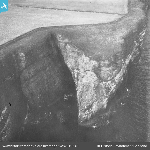
SAW019648 SCOTLAND (1948). Henry's Scorth, Crawton, Dunnottar. An oblique aerial photograph taken facing north. This image has been produced from a print.
© Copyright OpenStreetMap contributors and licensed by the OpenStreetMap Foundation. 2026. Cartography is licensed as CC BY-SA.
Nearby Images (4)
SAW019648

SAW019650

SAW019647

SAW019649

Details
| Title | [SAW019648] Henry's Scorth, Crawton, Dunnottar. An oblique aerial photograph taken facing north. This image has been produced from a print. |
| Reference | SAW019648 |
| Date | 1948 |
| Link | NRHE Collection item 1315020 |
| Place name | |
| Parish | DUNNOTTAR |
| District | KINCARDINE AND DEESIDE |
| Country | SCOTLAND |
| Easting / Northing | 388032, 780320 |
| Longitude / Latitude | -2.1965781379931, 56.914204528254 |
| National Grid Reference | NO880803 |
Pins
Be the first to add a comment to this image!