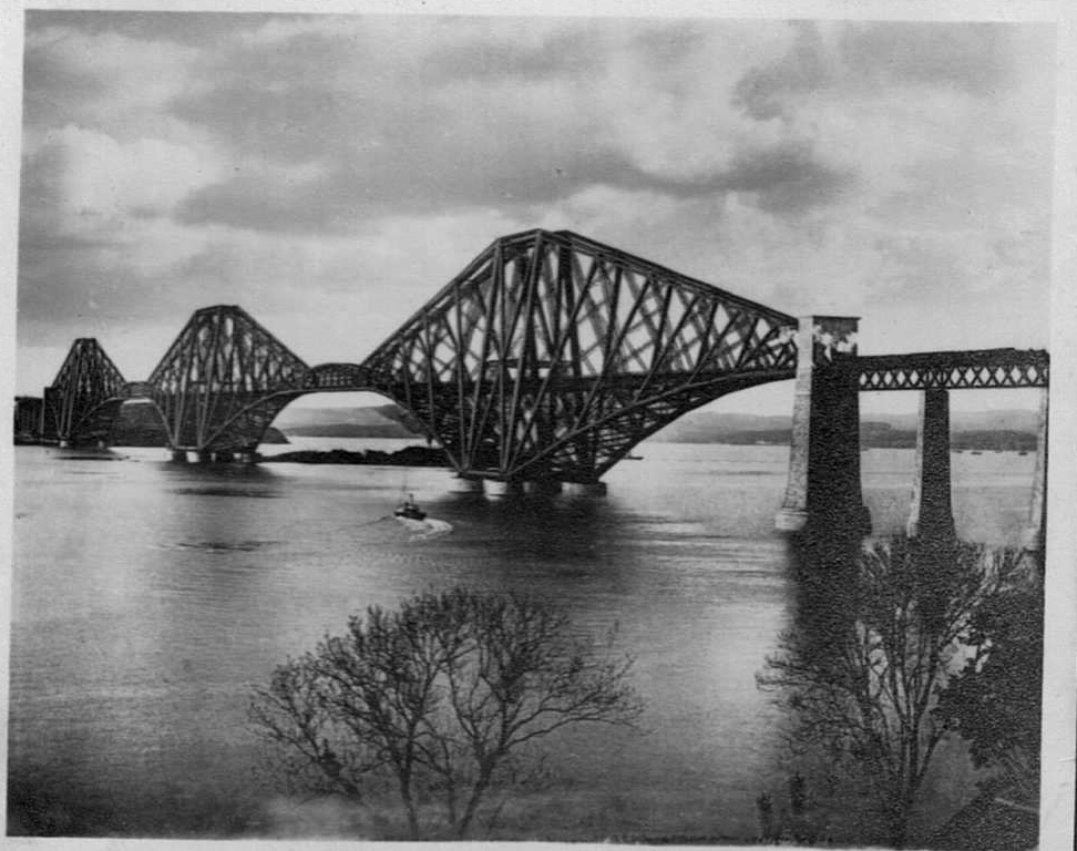
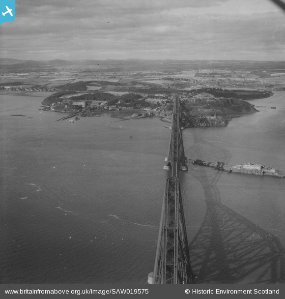
SAW019575 SCOTLAND (1948). Forth Rail Bridge and North Queensferry, Firth of Forth. An oblique aerial photograph taken facing north. This image has been produced from a print.
© Copyright OpenStreetMap contributors and licensed by the OpenStreetMap Foundation. 2026. Cartography is licensed as CC BY-SA.
Details
| Title | [SAW019575] Forth Rail Bridge and North Queensferry, Firth of Forth. An oblique aerial photograph taken facing north. This image has been produced from a print. |
| Reference | SAW019575 |
| Date | 1948 |
| Link | NRHE Collection item 1314960 |
| Place name | |
| Parish | INVERKEITHING |
| District | DUNFERMLINE |
| Country | SCOTLAND |
| Easting / Northing | 313096, 680274 |
| Longitude / Latitude | -3.3938696950626, 56.007562582278 |
| National Grid Reference | NT131803 |
Pins

jrussill |
Sunday 12th of January 2014 05:50:09 PM |