
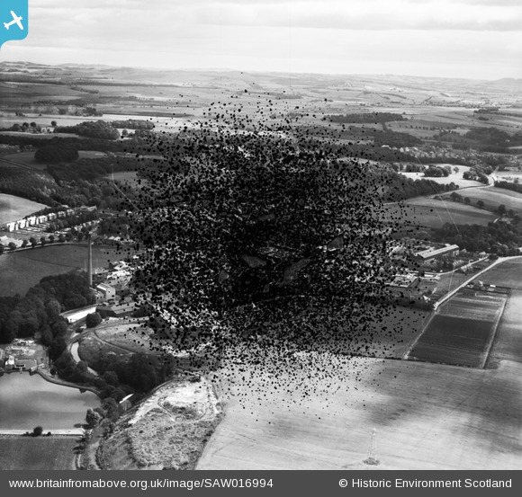
SAW016994 SCOTLAND (1948). Tullis Russell and Co. Paper Mill, Glenrothes. An oblique aerial photograph taken facing east. This image has been produced from a damaged negative.
© Copyright OpenStreetMap contributors and licensed by the OpenStreetMap Foundation. 2026. Cartography is licensed as CC BY-SA.
Nearby Images (32)
SAW016992

SAW016994

SAW016996

SAW016997

SAW016998

SAW017000

SPW019913

SPW019915

SPW019917

SPW019918

SPW019919

SPW019920
 , Rothes Mill (top right) and power house (top left)")
SPW019921
, Rothes Bleachfield (bottom right), power house (top) and Rothes Mill (top right)")
SPW020142

SPW020143

SPW020144

SPW020146

SPW020147

SPW040364

SPW040365

SPW040366

SPW040367

SPW040368

SPW040370

SPW040371

SPW056061

SPW056067

SPW056068
.")
SPW019922

SPW020145

SPW040369

SPW056064

Details
| Title | [SAW016994] Tullis Russell and Co. Paper Mill, Glenrothes. An oblique aerial photograph taken facing east. This image has been produced from a damaged negative. |
| Reference | SAW016994 |
| Date | 1948 |
| Link | NRHE Collection item 1269085 |
| Place name | |
| Parish | MARKINCH |
| District | KIRKCALDY |
| Country | SCOTLAND |
| Easting / Northing | 328162, 701615 |
| Longitude / Latitude | -3.1580263829124, 56.201778957684 |
| National Grid Reference | NO282016 |
Pins
Be the first to add a comment to this image!