
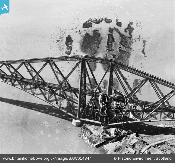
SAW014844 SCOTLAND (1948). Forth Rail Bridge, North Queensferry. An oblique aerial photograph taken facing south-west. This image has been produced from a damaged negative.
© Copyright OpenStreetMap contributors and licensed by the OpenStreetMap Foundation. 2026. Cartography is licensed as CC BY-SA.
Nearby Images (4)
SAW014844

SAW014845

SAW052275

SAW014846

Details
| Title | [SAW014844] Forth Rail Bridge, North Queensferry. An oblique aerial photograph taken facing south-west. This image has been produced from a damaged negative. |
| Reference | SAW014844 |
| Date | 1948 |
| Link | NRHE Collection item 1268932 |
| Place name | |
| Parish | INVERKEITHING |
| District | DUNFERMLINE |
| Country | SCOTLAND |
| Easting / Northing | 313387, 680174 |
| Longitude / Latitude | -3.389171599446, 56.006716921733 |
| National Grid Reference | NT134802 |
Pins
Be the first to add a comment to this image!