
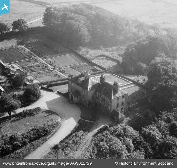
SAW011729 SCOTLAND (1947). Senwick House and Walled Garden, Borgue. An oblique aerial photograph taken facing south.
© Copyright OpenStreetMap contributors and licensed by the OpenStreetMap Foundation. 2026. Cartography is licensed as CC BY-SA.
Nearby Images (7)
SAW011724

SAW011725

SAW011727

SAW011728

SAW011729

SAW011726

SAW011730

Details
| Title | [SAW011729] Senwick House and Walled Garden, Borgue. An oblique aerial photograph taken facing south. |
| Reference | SAW011729 |
| Date | 1947 |
| Link | NRHE Collection item 1230988 |
| Place name | |
| Parish | BORGUE |
| District | STEWARTRY |
| Country | SCOTLAND |
| Easting / Northing | 264560, 546669 |
| Longitude / Latitude | -4.1070045522879, 54.796491041261 |
| National Grid Reference | NX646467 |
Pins
Be the first to add a comment to this image!