
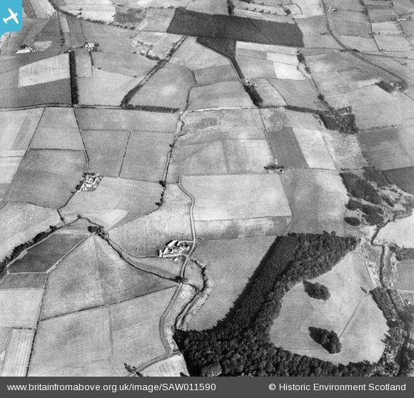
SAW011590 SCOTLAND (1947). Parkmill and Broad Wood, Tarbolton. An oblique aerial photograph taken facing east.
© Copyright OpenStreetMap contributors and licensed by the OpenStreetMap Foundation. 2025. Cartography is licensed as CC BY-SA.
Nearby Images (2)
SAW011589

SAW011590

Details
| Title | [SAW011590] Parkmill and Broad Wood, Tarbolton. An oblique aerial photograph taken facing east. |
| Reference | SAW011590 |
| Date | 1947 |
| Link | NRHE Collection item 1268808 |
| Place name | |
| Parish | TARBOLTON |
| District | KYLE AND CARRICK |
| Country | SCOTLAND |
| Easting / Northing | 244600, 627200 |
| Longitude / Latitude | -4.4613738740096, 55.513780909287 |
| National Grid Reference | NS446272 |
Pins
Be the first to add a comment to this image!