
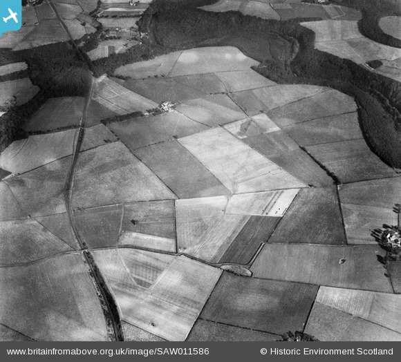
SAW011586 SCOTLAND (1947). Coilsholm and Fail Hill Wood, Tarbolton. An oblique aerial photograph taken facing east.
© Copyright OpenStreetMap contributors and licensed by the OpenStreetMap Foundation. 2025. Cartography is licensed as CC BY-SA.
Nearby Images (2)
SAW011582

SAW011586

Details
| Title | [SAW011586] Coilsholm and Fail Hill Wood, Tarbolton. An oblique aerial photograph taken facing east. |
| Reference | SAW011586 |
| Date | 1947 |
| Link | NRHE Collection item 1268804 |
| Place name | |
| Parish | TARBOLTON |
| District | KYLE AND CARRICK |
| Country | SCOTLAND |
| Easting / Northing | 245305, 625599 |
| Longitude / Latitude | -4.4493257836111, 55.499630486677 |
| National Grid Reference | NS453256 |
Pins
Be the first to add a comment to this image!