
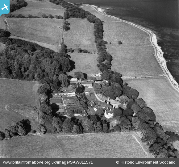
SAW011571 SCOTLAND (1947). Kildalloig House. An oblique aerial photograph taken facing north.
© Copyright OpenStreetMap contributors and licensed by the OpenStreetMap Foundation. 2026. Cartography is licensed as CC BY-SA.
Nearby Images (5)
SAW011569

SAW011571

SAW011572

SAW011573

SAW011574

Details
| Title | [SAW011571] Kildalloig House. An oblique aerial photograph taken facing north. |
| Reference | SAW011571 |
| Date | 1947 |
| Link | NRHE Collection item 1268789 |
| Place name | |
| Parish | CAMPBELTOWN |
| District | ARGYLL AND BUTE |
| Country | SCOTLAND |
| Easting / Northing | 175313, 618873 |
| Longitude / Latitude | -5.5500834709957, 55.412155820594 |
| National Grid Reference | NR753189 |
Pins
Be the first to add a comment to this image!