
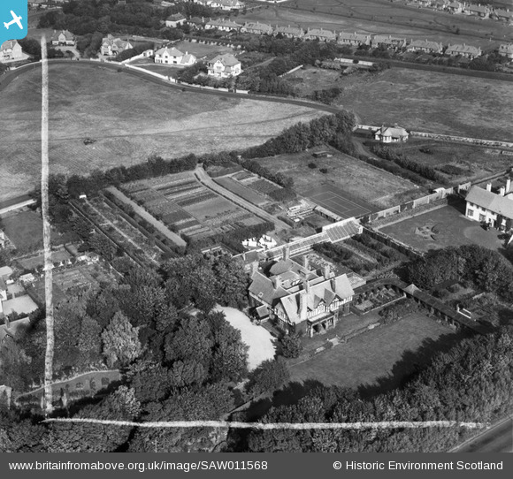
SAW011568 SCOTLAND (1947). Piersland, Craigend Road, Troon. An oblique aerial photograph taken facing north. This image has been produced from a crop marked negative.
© Copyright OpenStreetMap contributors and licensed by the OpenStreetMap Foundation. 2025. Cartography is licensed as CC BY-SA.
Nearby Images (6)
SAW011564

SAW011568

SAW011566

SAW011567

SAW011563

SAW011565

Details
| Title | [SAW011568] Piersland, Craigend Road, Troon. An oblique aerial photograph taken facing north. This image has been produced from a crop marked negative. |
| Reference | SAW011568 |
| Date | 1947 |
| Link | NRHE Collection item 1268786 |
| Place name | |
| Parish | DUNDONALD (KYLE AND CARRICK) |
| District | KYLE AND CARRICK |
| Country | SCOTLAND |
| Easting / Northing | 233077, 629926 |
| Longitude / Latitude | -4.6453184838404, 55.534450715938 |
| National Grid Reference | NS331299 |
Pins

olddobson |
Wednesday 4th of September 2013 08:01:04 PM | |
|
Alan McFarlane |
Sunday 22nd of July 2012 07:58:36 PM | |
|
Alan McFarlane |
Sunday 22nd of July 2012 07:57:17 PM | |
|
Alan McFarlane |
Sunday 22nd of July 2012 07:56:30 PM | |
|
Alan McFarlane |
Sunday 22nd of July 2012 07:56:03 PM |