
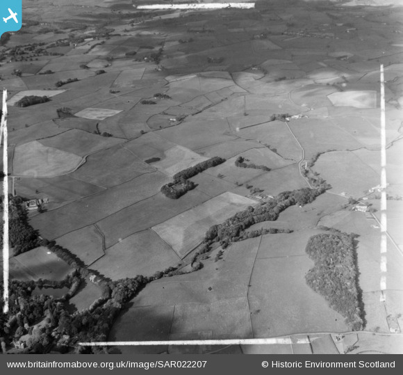
SAR022207 SCOTLAND (1954). Spottes Burn and Bridge Urr, Kirkcudbrightshire, Scotland. An oblique aerial photograph taken facing North/West. This image was marked by AeroPictorial Ltd for photo editing.
© Copyright OpenStreetMap contributors and licensed by the OpenStreetMap Foundation. 2026. Cartography is licensed as CC BY-SA.
Nearby Images (4)
SAR022191

 0°
0m
0°
0m
SAR022192
 0°
0m
0°
0m
SAR022205
 0°
0m
0°
0m
SAR022207
 0°
0m
0°
0m
Details
| Title | [SAR022207] Spottes Burn and Bridge Urr, Kirkcudbrightshire, Scotland. An oblique aerial photograph taken facing North/West. This image was marked by AeroPictorial Ltd for photo editing. |
| Reference | SAR022207 |
| Date | 1954 |
| Link | NRHE Collection item 1438312 |
| Place name | |
| Parish | URR |
| District | STEWARTRY |
| Country | SCOTLAND |
| Easting / Northing | 279857, 566767 |
| Longitude / Latitude | -3.8775631990965, 54.9809201263 |
| National Grid Reference | NX799668 |
Pins
Be the first to add a comment to this image!