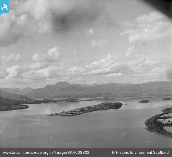
SAR008802 SCOTLAND (1947). Loch Lomond Bonhill, Dunbartonshire, Scotland. An oblique aerial photograph taken facing North/West.
© Copyright OpenStreetMap contributors and licensed by the OpenStreetMap Foundation. 2025. Cartography is licensed as CC BY-SA.
Details
| Title | [SAR008802] Loch Lomond Bonhill, Dunbartonshire, Scotland. An oblique aerial photograph taken facing North/West. |
| Reference | SAR008802 |
| Date | 1947 |
| Link | Canmore Collection item 1437793 |
| Place name | |
| Parish | KILMARONOCK (DUMBARTON) |
| District | DUMBARTON |
| Country | SCOTLAND |
| Easting / Northing | 238010, 687000 |
| Longitude / Latitude | -4.6011762011672, 56.048460717138 |
| National Grid Reference | NS380870 |
Pins
Be the first to add a comment to this image!


![[SAR008802] Loch Lomond Bonhill, Dunbartonshire, Scotland. An oblique aerial photograph taken facing North/West.](http://britainfromabove.org.uk/sites/all/libraries/aerofilms-images/public/100x100/SAR/008/SAR008802.jpg)
![[SAW017919] Loch Lomond, general view, showing Inchmurrin and Auchentullich Bay. An oblique aerial photograph taken facing west. This image has been produced from a print.](http://britainfromabove.org.uk/sites/all/libraries/aerofilms-images/public/100x100/SAW/017/SAW017919.jpg)