
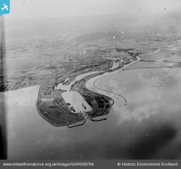
SAR008706 SCOTLAND (1947). General View Grangemouth, Stirlingshire, Scotland. An oblique aerial photograph taken facing South/West.
© Copyright OpenStreetMap contributors and licensed by the OpenStreetMap Foundation. 2026. Cartography is licensed as CC BY-SA.
Nearby Images (2)
SAR008706

SAR008707

Details
| Title | [SAR008706] General View Grangemouth, Stirlingshire, Scotland. An oblique aerial photograph taken facing South/West. |
| Reference | SAR008706 |
| Date | 1947 |
| Link | NRHE Collection item 1437765 |
| Place name | |
| Parish | GRANGEMOUTH |
| District | FALKIRK |
| Country | SCOTLAND |
| Easting / Northing | 295065, 683727 |
| Longitude / Latitude | -3.6842936564607, 56.034970458752 |
| National Grid Reference | NS951837 |
Pins

redmist |
Tuesday 18th of October 2022 08:17:13 PM |