
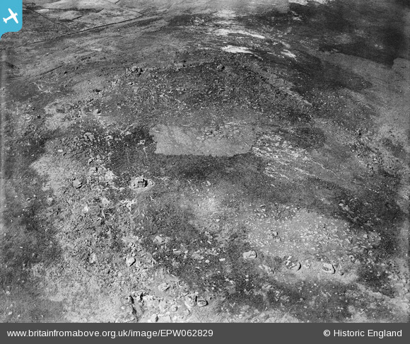
EPW062829 ENGLAND (1939). Mother Cap, Hathersage Moor, 1939
© Copyright OpenStreetMap contributors and licensed by the OpenStreetMap Foundation. 2026. Cartography is licensed as CC BY-SA.
Nearby Images (3)
EPW062829

EPW062830

EPW062828

Details
| Title | [EPW062829] Mother Cap, Hathersage Moor, 1939 |
| Reference | EPW062829 |
| Date | 30-August-1939 |
| Link | |
| Place name | HATHERSAGE MOOR |
| Parish | |
| District | |
| Country | ENGLAND |
| Easting / Northing | 425187, 380609 |
| Longitude / Latitude | -1.6218405730537, 53.32153539943 |
| National Grid Reference | SK252806 |
Pins
Be the first to add a comment to this image!