
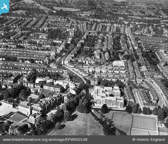
EPW062148 ENGLAND (1939). Nightingale Lane and environs, Balham, 1939
© Copyright OpenStreetMap contributors and licensed by the OpenStreetMap Foundation. 2026. Cartography is licensed as CC BY-SA.
Nearby Images (4)
EPW062148

EPW012455

EPW046681

EPW046680

Details
| Title | [EPW062148] Nightingale Lane and environs, Balham, 1939 |
| Reference | EPW062148 |
| Date | 2-July-1939 |
| Link | |
| Place name | BALHAM |
| Parish | |
| District | |
| Country | ENGLAND |
| Easting / Northing | 528356, 174182 |
| Longitude / Latitude | -0.15253822099801, 51.451564516977 |
| National Grid Reference | TQ284742 |
Pins

gerrywho |
Friday 1st of November 2013 04:26:04 PM | |
|
gerrywho |
Friday 1st of November 2013 04:25:11 PM | |
|
gerrywho |
Friday 1st of November 2013 04:24:25 PM | |
In 1939 it would have been a Southern Railway station, the Southern Region did not come into being until 1948. |
John Wass |
Tuesday 20th of October 2015 10:04:14 PM |
|
Chelsea61 |
Friday 23rd of August 2013 01:21:29 AM | |
Hi Chelsea61, Thanks for your pins that confirm the location. We'll update the catalogue and post your new data here in due course. Yours, Katy Britain from Above Cataloguing Team Leader |
Katy Whitaker |
Tuesday 3rd of September 2013 05:07:15 PM |
|
Chelsea61 |
Friday 23rd of August 2013 01:19:44 AM | |
|
Chelsea61 |
Friday 23rd of August 2013 01:19:20 AM | |
|
Chelsea61 |
Friday 23rd of August 2013 01:18:29 AM | |
|
Chelsea61 |
Friday 23rd of August 2013 01:17:51 AM |