
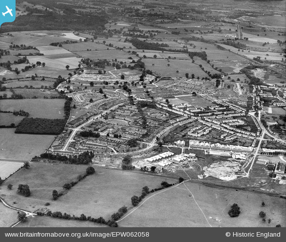
EPW062058 ENGLAND (1939). Peartree and Woodhall, Welwyn Garden City, from the north-east, 1939
© Copyright OpenStreetMap contributors and licensed by the OpenStreetMap Foundation. 2026. Cartography is licensed as CC BY-SA.
Nearby Images (2)
EPW062058

EPW047353

Details
| Title | [EPW062058] Peartree and Woodhall, Welwyn Garden City, from the north-east, 1939 |
| Reference | EPW062058 |
| Date | 28-June-1939 |
| Link | |
| Place name | WELWYN GARDEN CITY |
| Parish | |
| District | |
| Country | ENGLAND |
| Easting / Northing | 525087, 212822 |
| Longitude / Latitude | -0.18576105726158, 51.799586261024 |
| National Grid Reference | TL251128 |
Pins

Matt Aldred edob.mattaldred.com |
Thursday 7th of March 2024 01:56:56 PM |