
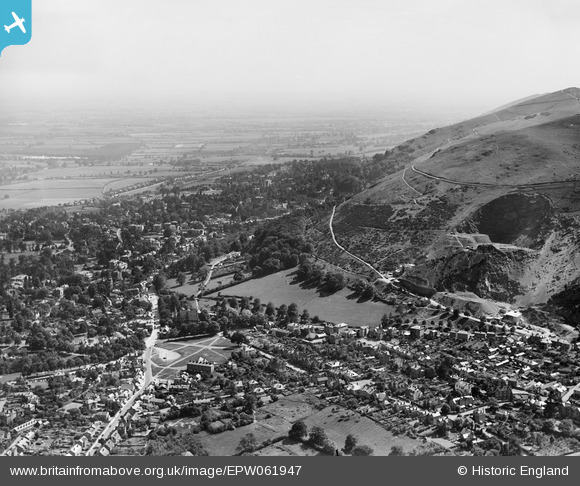
EPW061947 ENGLAND (1939). Top Link, Great Malvern, 1939
© Copyright OpenStreetMap contributors and licensed by the OpenStreetMap Foundation. 2025. Cartography is licensed as CC BY-SA.
Nearby Images (2)
EPW061947

EPW061948

Details
| Title | [EPW061947] Top Link, Great Malvern, 1939 |
| Reference | EPW061947 |
| Date | 8-June-1939 |
| Link | |
| Place name | GREAT MALVERN |
| Parish | MALVERN |
| District | |
| Country | ENGLAND |
| Easting / Northing | 377393, 246641 |
| Longitude / Latitude | -2.330200684512, 52.117213838498 |
| National Grid Reference | SO774466 |
Pins

Judy B |
Saturday 7th of March 2015 08:01:15 PM | |
|
Cowshed |
Friday 15th of November 2013 10:07:58 PM | |
|
Cowshed |
Friday 15th of November 2013 10:06:43 PM | |
|
Cowshed |
Friday 15th of November 2013 10:06:05 PM | |
|
Cowshed |
Friday 15th of November 2013 10:05:27 PM |
User Comment Contributions
Us locals usually call it Link Top |
Shabra |
Saturday 31st of August 2013 12:02:29 PM |