
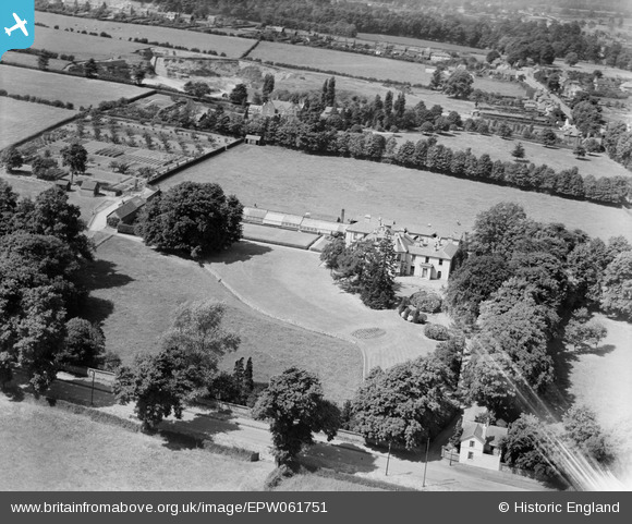
EPW061751 ENGLAND (1939). Woodfield House, Kingswinford, 1939
© Copyright OpenStreetMap contributors and licensed by the OpenStreetMap Foundation. 2026. Cartography is licensed as CC BY-SA.
Nearby Images (6)
EPW061751

EPW061750

EPW061754

EPW061752

EPW061753

EPW061755

Details
| Title | [EPW061751] Woodfield House, Kingswinford, 1939 |
| Reference | EPW061751 |
| Date | 10-June-1939 |
| Link | |
| Place name | KINGSWINFORD |
| Parish | |
| District | |
| Country | ENGLAND |
| Easting / Northing | 388455, 287299 |
| Longitude / Latitude | -2.1700231834851, 52.483121506937 |
| National Grid Reference | SO885873 |
Pins
Be the first to add a comment to this image!