
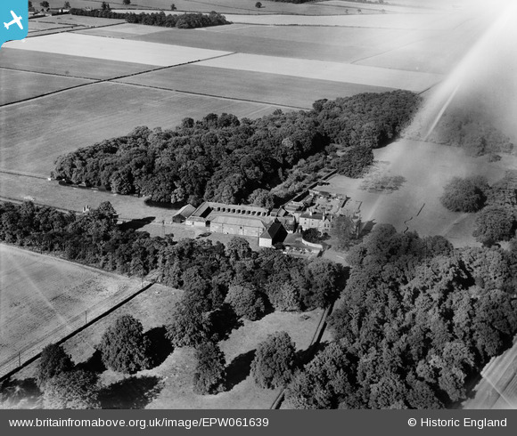
EPW061639 ENGLAND (1939). Ranby House, Ranby, 1939. This image has been affected by flare.
© Copyright OpenStreetMap contributors and licensed by the OpenStreetMap Foundation. 2024. Cartography is licensed as CC BY-SA.
Nearby Images (6)
EPW061639

EPW061642

EPW061643

EPW061640

EPW061644

EPW061641

Details
| Title | [EPW061639] Ranby House, Ranby, 1939. This image has been affected by flare. |
| Reference | EPW061639 |
| Date | 6-June-1939 |
| Link | |
| Place name | RANBY |
| Parish | BABWORTH |
| District | |
| Country | ENGLAND |
| Easting / Northing | 465625, 381083 |
| Longitude / Latitude | -1.014671467846, 53.322327231908 |
| National Grid Reference | SK656811 |
Pins
Be the first to add a comment to this image!