
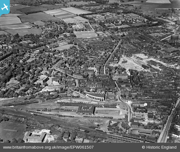
EPW061507 ENGLAND (1939). Northgate and environs, Wakefield, from the south-west, 1939
© Copyright OpenStreetMap contributors and licensed by the OpenStreetMap Foundation. 2026. Cartography is licensed as CC BY-SA.
Nearby Images (2)
EPW061507

EAW025171

Details
| Title | [EPW061507] Northgate and environs, Wakefield, from the south-west, 1939 |
| Reference | EPW061507 |
| Date | 2-June-1939 |
| Link | |
| Place name | WAKEFIELD |
| Parish | |
| District | |
| Country | ENGLAND |
| Easting / Northing | 432809, 420924 |
| Longitude / Latitude | -1.5031883642872, 53.683514320411 |
| National Grid Reference | SE328209 |
Pins

tim birch |
Sunday 28th of November 2021 08:21:31 PM |