
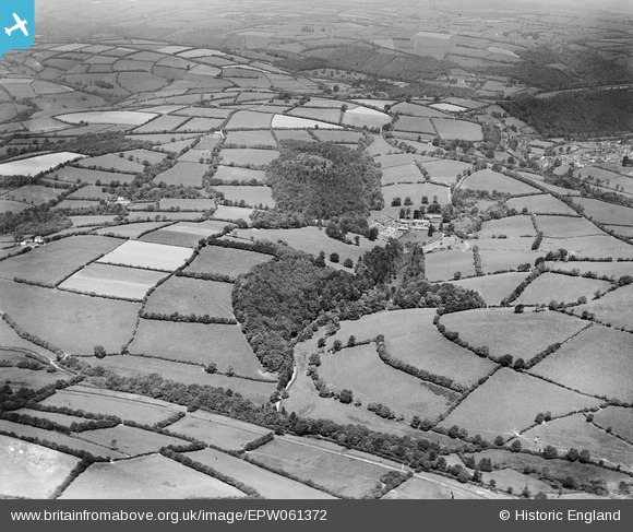
EPW061372 ENGLAND (1939). Combe Big Wood, Shelveacre Coppice and surrounding countryside, Brushford, from the south, 1939
© Copyright OpenStreetMap contributors and licensed by the OpenStreetMap Foundation. 2026. Cartography is licensed as CC BY-SA.
Nearby Images (2)
EPW061372

EPW061378

Details
| Title | [EPW061372] Combe Big Wood, Shelveacre Coppice and surrounding countryside, Brushford, from the south, 1939 |
| Reference | EPW061372 |
| Date | 4-June-1939 |
| Link | |
| Place name | BRUSHFORD |
| Parish | DULVERTON |
| District | |
| Country | ENGLAND |
| Easting / Northing | 291328, 125986 |
| Longitude / Latitude | -3.5496396996553, 51.022423650519 |
| National Grid Reference | SS913260 |
Pins
Be the first to add a comment to this image!