
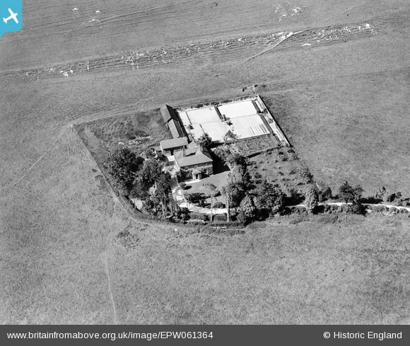
EPW061364 ENGLAND (1939). Dowerfield House (formerly Dowerfield Farm) off Long Bredy Hut Lane, Long Bredy, 1939
© Copyright OpenStreetMap contributors and licensed by the OpenStreetMap Foundation. 2026. Cartography is licensed as CC BY-SA.
Nearby Images (2)
EPW061364
 off Long Bredy Hut Lane, Long Bredy, 1939")
EPW061363
 off Long Bredy Hut Lane, Long Bredy, 1939")
Details
| Title | [EPW061364] Dowerfield House (formerly Dowerfield Farm) off Long Bredy Hut Lane, Long Bredy, 1939 |
| Reference | EPW061364 |
| Date | 4-June-1939 |
| Link | |
| Place name | LONG BREDY |
| Parish | LONG BREDY |
| District | |
| Country | ENGLAND |
| Easting / Northing | 356759, 91176 |
| Longitude / Latitude | -2.6125913807979, 50.718027199282 |
| National Grid Reference | SY568912 |
Pins
Be the first to add a comment to this image!