
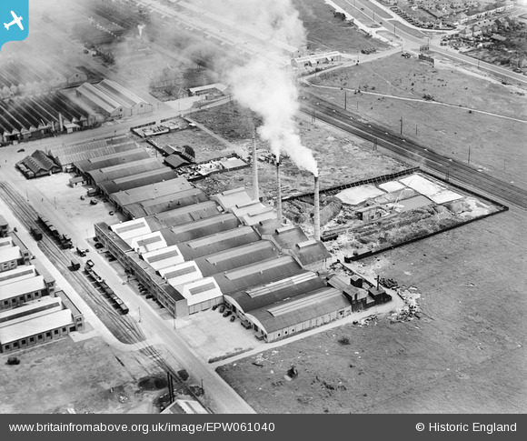
EPW061040 ENGLAND (1939). The International Alloys Ltd Works and the British Hygienics Ltd Soap Works, Slough, 1939
© Copyright OpenStreetMap contributors and licensed by the OpenStreetMap Foundation. 2026. Cartography is licensed as CC BY-SA.
Nearby Images (19)
EPW061040

EPW055327

EPW055323

EPW061036

EPW055325

EPW000022

EPW061039

EPW055322

EPW061037

EPW055326

EPW055324

EPW061041

EPW061038

EPW025645

EPW000020

EPW025641

EPW000031

EPW000028

EPW015619

Details
| Title | [EPW061040] The International Alloys Ltd Works and the British Hygienics Ltd Soap Works, Slough, 1939 |
| Reference | EPW061040 |
| Date | 20-May-1939 |
| Link | |
| Place name | SLOUGH |
| Parish | |
| District | |
| Country | ENGLAND |
| Easting / Northing | 494744, 181345 |
| Longitude / Latitude | -0.63422803015585, 51.522583752559 |
| National Grid Reference | SU947813 |
Pins

Maurice |
Monday 3rd of February 2014 06:47:54 AM | |

payitforwardeddie |
Sunday 2nd of February 2014 07:01:44 PM | |
|
dave43 |
Sunday 15th of September 2013 09:30:11 PM | |
|
dave43 |
Sunday 15th of September 2013 09:29:07 PM |