
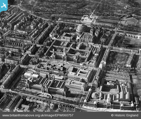
EPW060757 ENGLAND (1939). Albertopolis, Knightsbridge, 1939
© Copyright OpenStreetMap contributors and licensed by the OpenStreetMap Foundation. 2026. Cartography is licensed as CC BY-SA.
Nearby Images (22)
EPW060757

EAW034721

EPW011934

EPW039571

EAW033441

EAW034718

EAW034720

EPW039570

EAW015853

EAW034725

EPR000609A

EPW036286

EAW034722

EAW034719

EPW011937

EAW000553

EPW059339

EPW017275

EPW057068

EAW034723

EAW034724

EAW015831

Details
| Title | [EPW060757] Albertopolis, Knightsbridge, 1939 |
| Reference | EPW060757 |
| Date | 12-April-1939 |
| Link | |
| Place name | KNIGHTSBRIDGE |
| Parish | |
| District | |
| Country | ENGLAND |
| Easting / Northing | 526672, 179290 |
| Longitude / Latitude | -0.174931416877, 51.497854455163 |
| National Grid Reference | TQ267793 |
Pins

Alan McFaden |
Tuesday 17th of December 2013 09:36:26 PM | |

Class31 |
Friday 15th of November 2013 08:18:56 PM | |
|
Alan McFaden |
Friday 28th of June 2013 06:07:04 PM | |
|
Alan McFaden |
Wednesday 26th of June 2013 08:05:53 PM | |
|
Alan McFaden |
Wednesday 26th of June 2013 07:56:59 PM | |
|
Alan McFaden |
Tuesday 25th of June 2013 08:28:35 PM | |
|
Alan McFaden |
Tuesday 25th of June 2013 08:25:27 PM | |
|
Alan McFaden |
Tuesday 25th of June 2013 08:24:21 PM | |
|
Alan McFaden |
Tuesday 25th of June 2013 08:22:23 PM |


User Comment Contributions
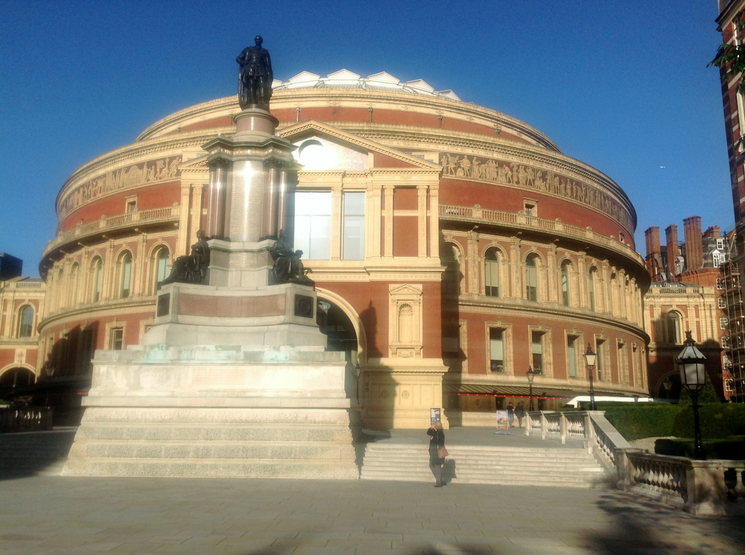
Royal Albert Hall 15/11/2013 |
Class31 |
Friday 15th of November 2013 08:03:17 PM |