
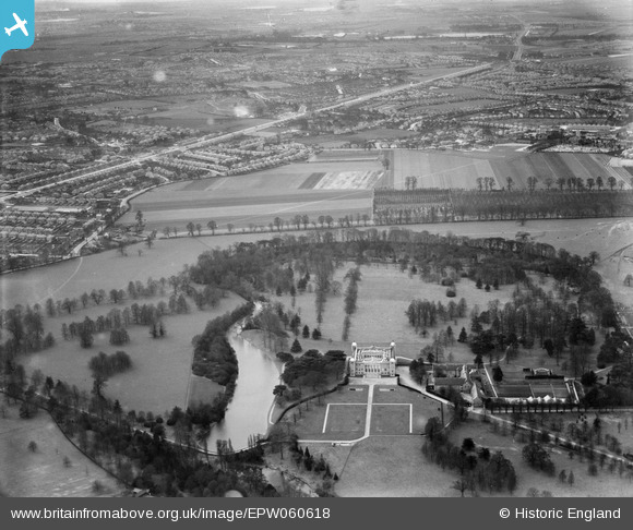
EPW060618 ENGLAND (1939). Osterley Park and environs, Osterley, 1939
© Copyright OpenStreetMap contributors and licensed by the OpenStreetMap Foundation. 2026. Cartography is licensed as CC BY-SA.
Nearby Images (3)
EPW060618

EPW057963

EPW023236

Details
| Title | [EPW060618] Osterley Park and environs, Osterley, 1939 |
| Reference | EPW060618 |
| Date | 2-March-1939 |
| Link | |
| Place name | OSTERLEY |
| Parish | |
| District | |
| Country | ENGLAND |
| Easting / Northing | 514238, 177731 |
| Longitude / Latitude | -0.35449927853704, 51.486491097175 |
| National Grid Reference | TQ142777 |
Pins
Be the first to add a comment to this image!