
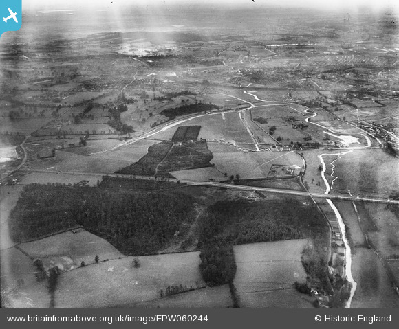
EPW060244 ENGLAND (1938). Berrygrove, High Wood and environs, Bushey, from the north-east, 1938
© Copyright OpenStreetMap contributors and licensed by the OpenStreetMap Foundation. 2026. Cartography is licensed as CC BY-SA.
Nearby Images (2)
EPW060244

EPW060243

Details
| Title | [EPW060244] Berrygrove, High Wood and environs, Bushey, from the north-east, 1938 |
| Reference | EPW060244 |
| Date | 15-December-1938 |
| Link | |
| Place name | BUSHEY |
| Parish | |
| District | |
| Country | ENGLAND |
| Easting / Northing | 512880, 198213 |
| Longitude / Latitude | -0.36746669406353, 51.670871371025 |
| National Grid Reference | TQ129982 |
Pins

Bluid |
Friday 28th of February 2014 10:41:26 AM | |
|
Bluid |
Friday 28th of February 2014 10:37:44 AM | |
|
Bluid |
Friday 28th of February 2014 10:35:26 AM |