
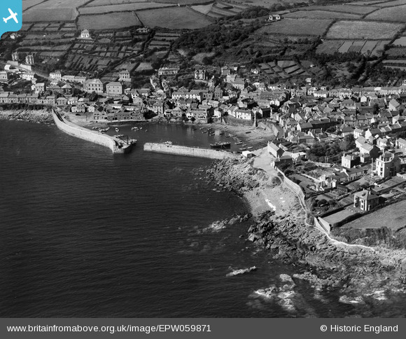
EPW059871 ENGLAND (1938). The harbour and village, Mousehole, 1938
© Copyright OpenStreetMap contributors and licensed by the OpenStreetMap Foundation. 2026. Cartography is licensed as CC BY-SA.
Nearby Images (6)
EPW059871

EPW039858

EAW033637

EAW033639

EPW039860

EAW033638

Details
| Title | [EPW059871] The harbour and village, Mousehole, 1938 |
| Reference | EPW059871 |
| Date | 22-September-1938 |
| Link | |
| Place name | MOUSEHOLE |
| Parish | PENZANCE |
| District | |
| Country | ENGLAND |
| Easting / Northing | 147027, 26355 |
| Longitude / Latitude | -5.5366408903587, 50.082733366171 |
| National Grid Reference | SW470264 |
