
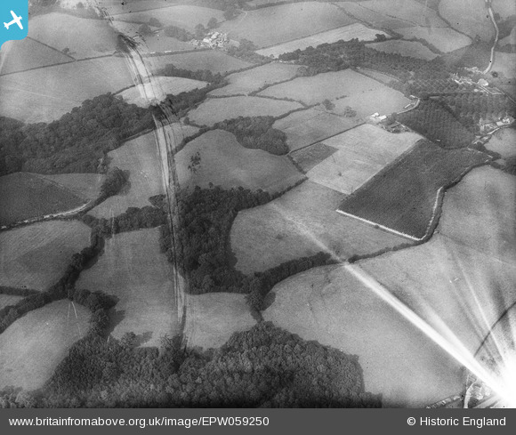
EPW059250 ENGLAND (1938). Fields between Gill Wood and Peter's Green, Bodiam, 1938. This image has been produced from a damaged negative.
© Copyright OpenStreetMap contributors and licensed by the OpenStreetMap Foundation. 2026. Cartography is licensed as CC BY-SA.
Nearby Images (2)
EPW059250

EPW059252

Details
| Title | [EPW059250] Fields between Gill Wood and Peter's Green, Bodiam, 1938. This image has been produced from a damaged negative. |
| Reference | EPW059250 |
| Date | 11-September-1938 |
| Link | |
| Place name | BODIAM |
| Parish | BODIAM |
| District | |
| Country | ENGLAND |
| Easting / Northing | 577810, 126315 |
| Longitude / Latitude | 0.53486236302064, 51.008156465071 |
| National Grid Reference | TQ778263 |
Pins
Be the first to add a comment to this image!