
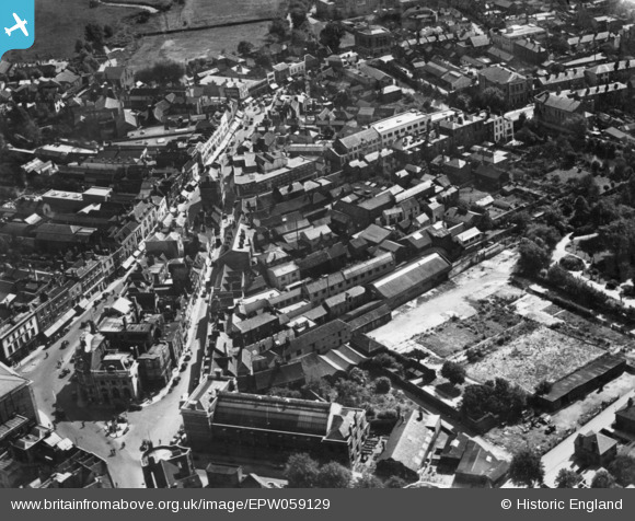
EPW059129 ENGLAND (1938). Tindal Street, the High Street and environs, Chelmsford, 1938. This image has been produced from a copy-negative.
© Copyright OpenStreetMap contributors and licensed by the OpenStreetMap Foundation. 2026. Cartography is licensed as CC BY-SA.
Nearby Images (24)
EPW059129

EPW058736

EAW001537

EPW059130

EAW022951

EAW049481

EAW001538

EAW043711

EAW049476

EAW049478

EAW050575

EAW022953

EAW049482

EPW001891

EAW043712

EAW049477

EAW001539

EPW058738

EPW001999

EAW001540

EAW043710

EAW050573

EAW043713

EAW049479

Details
| Title | [EPW059129] Tindal Street, the High Street and environs, Chelmsford, 1938. This image has been produced from a copy-negative. |
| Reference | EPW059129 |
| Date | 3-September-1938 |
| Link | |
| Place name | CHELMSFORD |
| Parish | |
| District | |
| Country | ENGLAND |
| Easting / Northing | 570858, 206733 |
| Longitude / Latitude | 0.47451931601712, 51.732774585768 |
| National Grid Reference | TL709067 |
Pins

Ian |
Sunday 16th of November 2014 08:35:27 PM | |
|
Ian |
Sunday 16th of November 2014 08:31:33 PM | |
|
Ian |
Saturday 8th of November 2014 08:37:08 AM | |
|
Ian |
Saturday 8th of November 2014 08:36:23 AM | |
|
Ian |
Saturday 8th of November 2014 08:35:52 AM | |
|
Ian |
Saturday 8th of November 2014 08:30:10 AM | |
|
Ian |
Saturday 8th of November 2014 08:29:32 AM | |
|
Ian |
Saturday 8th of November 2014 08:26:46 AM | |
|
Ian |
Saturday 8th of November 2014 08:19:10 AM | |
|
Ian |
Saturday 8th of November 2014 08:18:14 AM | |
|
Ian |
Saturday 8th of November 2014 08:16:57 AM | |
|
Ian |
Saturday 8th of November 2014 08:16:21 AM |