
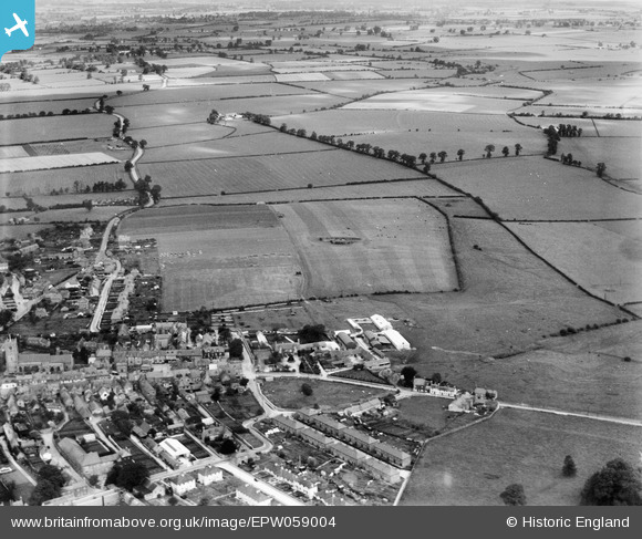
EPW059004 ENGLAND (1938). Parsonage Farm, the town and surrounding fields, Highworth, 1938
© Copyright OpenStreetMap contributors and licensed by the OpenStreetMap Foundation. 2025. Cartography is licensed as CC BY-SA.
Nearby Images (2)
EPW059004

EPW059006

Details
| Title | [EPW059004] Parsonage Farm, the town and surrounding fields, Highworth, 1938 |
| Reference | EPW059004 |
| Date | 30-August-1938 |
| Link | |
| Place name | HIGHWORTH |
| Parish | HIGHWORTH |
| District | |
| Country | ENGLAND |
| Easting / Northing | 420419, 192862 |
| Longitude / Latitude | -1.7049392209003, 51.633728418546 |
| National Grid Reference | SU204929 |
Pins
 Eagle eye |
Tuesday 10th of February 2015 06:59:25 PM |