
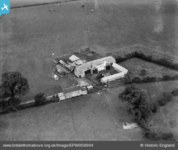
EPW058994 ENGLAND (1938). Roundhill Farm, Highworth, 1938
© Copyright OpenStreetMap contributors and licensed by the OpenStreetMap Foundation. 2025. Cartography is licensed as CC BY-SA.
Nearby Images (5)
EPW058994

EPW058993

EPW058989

EPW058991

EPW058990

Details
| Title | [EPW058994] Roundhill Farm, Highworth, 1938 |
| Reference | EPW058994 |
| Date | 30-August-1938 |
| Link | |
| Place name | HIGHWORTH |
| Parish | HIGHWORTH |
| District | |
| Country | ENGLAND |
| Easting / Northing | 420526, 194303 |
| Longitude / Latitude | -1.7033085114892, 51.64668224197 |
| National Grid Reference | SU205943 |
Pins
Be the first to add a comment to this image!