
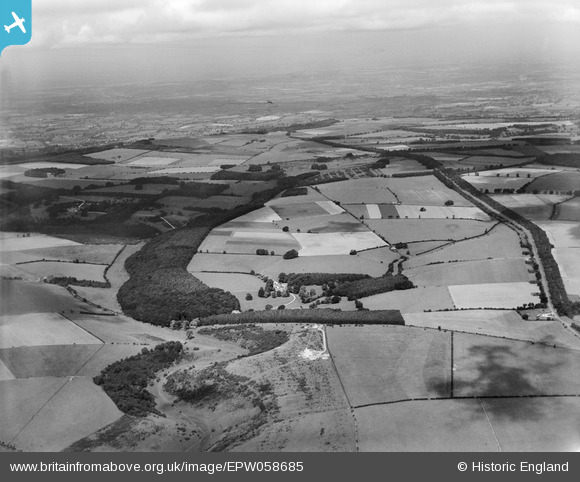
EPW058685 ENGLAND (1938). Countryside between The Dingles and Five Mile Drive, Campden Ashes, from the south-east, 1938
© Copyright OpenStreetMap contributors and licensed by the OpenStreetMap Foundation. 2025. Cartography is licensed as CC BY-SA.
Nearby Images (3)
EPW058685

EPW058686

EPW058693

Details
| Title | [EPW058685] Countryside between The Dingles and Five Mile Drive, Campden Ashes, from the south-east, 1938 |
| Reference | EPW058685 |
| Date | 13-August-1938 |
| Link | |
| Place name | CAMPDEN ASHES |
| Parish | BLOCKLEY |
| District | |
| Country | ENGLAND |
| Easting / Northing | 414078, 233548 |
| Longitude / Latitude | -1.794913674479, 51.999769939803 |
| National Grid Reference | SP141335 |
Pins
Be the first to add a comment to this image!